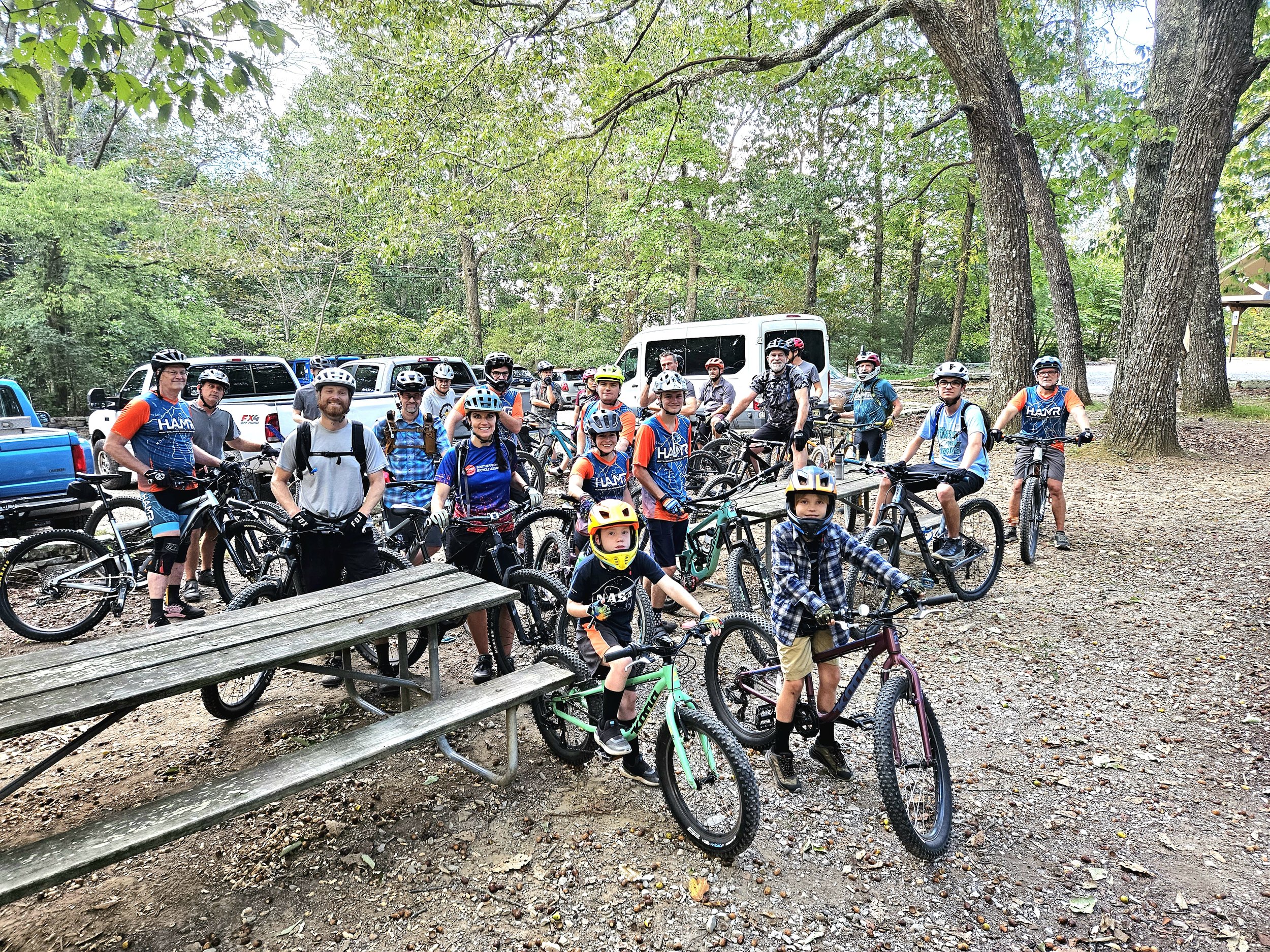
Fall Fest Group Rides
All rides are suggested routes curated for you by our team of awesome local volunteer ride leaders! Exact routes may vary slightly depending upon group composition and trail conditions the day of the event, but this will give you an idea of what to expect. Routes have multiple bail-out points along the way, so if you’re feeling out of your element or want to move onto another activity, just let your leader/sweep know, and cut loose at a bail-out point!
Friday, October 11
Bring your lights for a pre-dinner and music ride! Two group options, both rolling from Ground Control (the bikers parking lot/Scoble pavlion) at 5:30 PM.
Intermediate: 11 miles, 950ft ele.
Saturday, October 12
Ride options starting at 9:30 and 1:00 from Ground Control!
9:30 Intermediate: 12 miles, 700ft elevation
1:00 Intermediate: 10 miles, 750ft elev.
Sunday, October 13
Wrap up your weekend with a couple of options to take you around the mountain starting at 10:00 AM from Ground Control!
Intermediate: 12 miles, 800ft elev.
Shuttles
Shuttles will run on Saturday from 10:00-3:00, and Sunday from 10:00-2:00 thanks to Sunset Bicycles!
Drop-off and pick-up locations are noted below, along with a few suggested routes.
Drop-Off Locations:
Pick-Up Locations:
Recommended Routes:
-From festival pavilion, Tally-Ho, Bluebell Holler and Alt, Mist Opportunity, The Portal, Bankhead Trail, Oak Park (5 miles of mostly downhill!)
-Coldsprings, The Portal, Bankhead, Oak Park
-Bankhead and Oak Park from Hairpin
-Bankhead to Land Trust Lot
-Dummyline to Land Trust Lot


