Monte Sano
Monte Sano State Park and the Land Trust of North Alabama
Monte Sano Mountain is located near Huntsville in northeast Alabama. In Spanish, Monte Sano means “Mountain of Health.” In the late 1800s, visitors from across the United States came for “the season” to experience and enjoy Monte Sano’s fresh air, spectacular views and mineral springs. Monte Sano State Park occupies the top portion of the mountain, while the Land Trust of North Alabama owns much of the land and trails on the lower sections of Monte Sano.
Land Trust Trails: free admission. A Land Trust of North Alabama membership/donation is encouraged!
Trails open: dawn until dusk daily.
Best for: Intermediate through Advanced riders.
Monte Sano State Park: $5 or annual state parks pass required.
Trails open: dawn until dusk daily. Night riding after Daylight Savings Time ends is permissible only as part of official HAMR group rides.
Best for: Beginner through Advanced riders.
What to expect
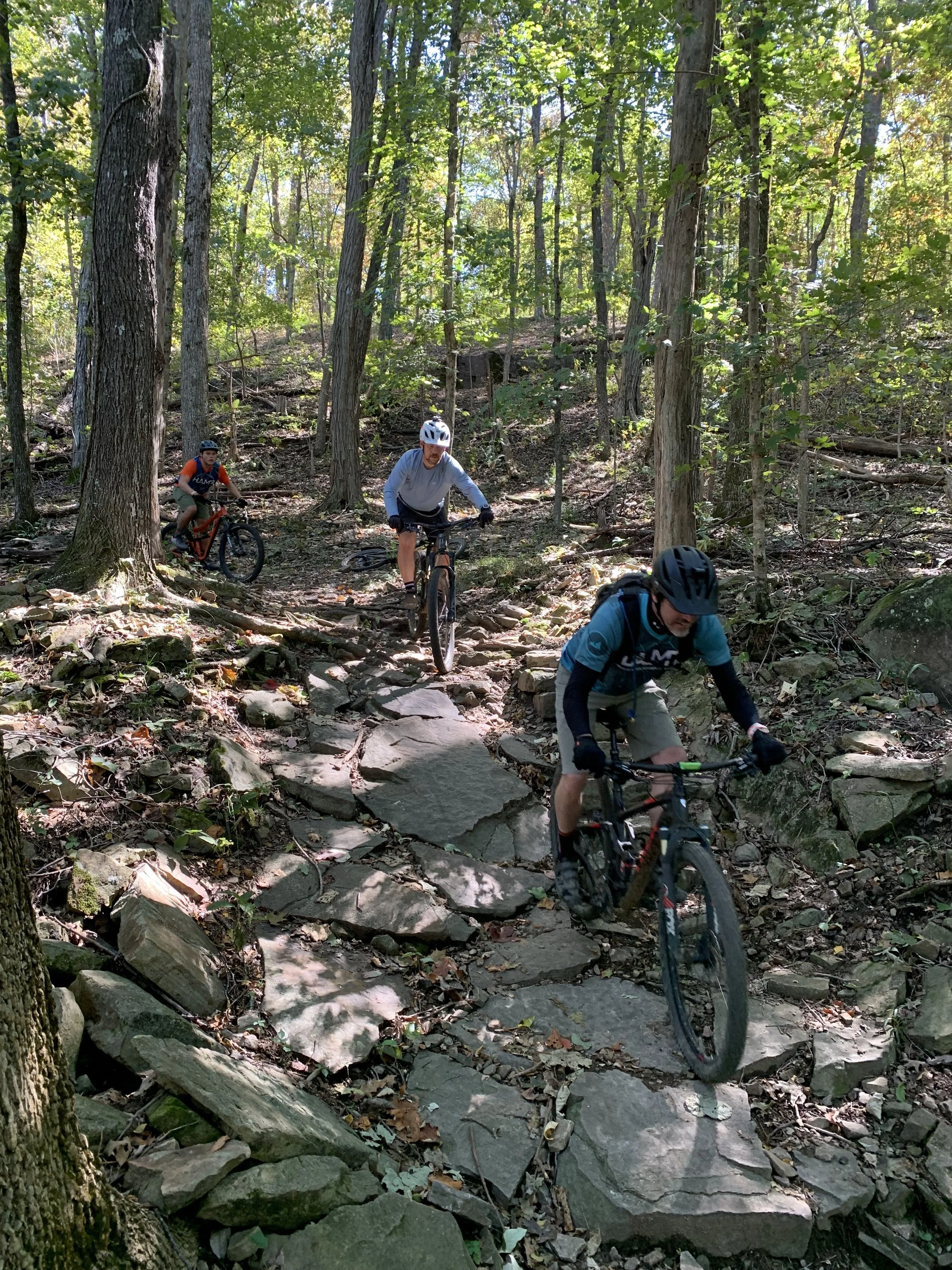
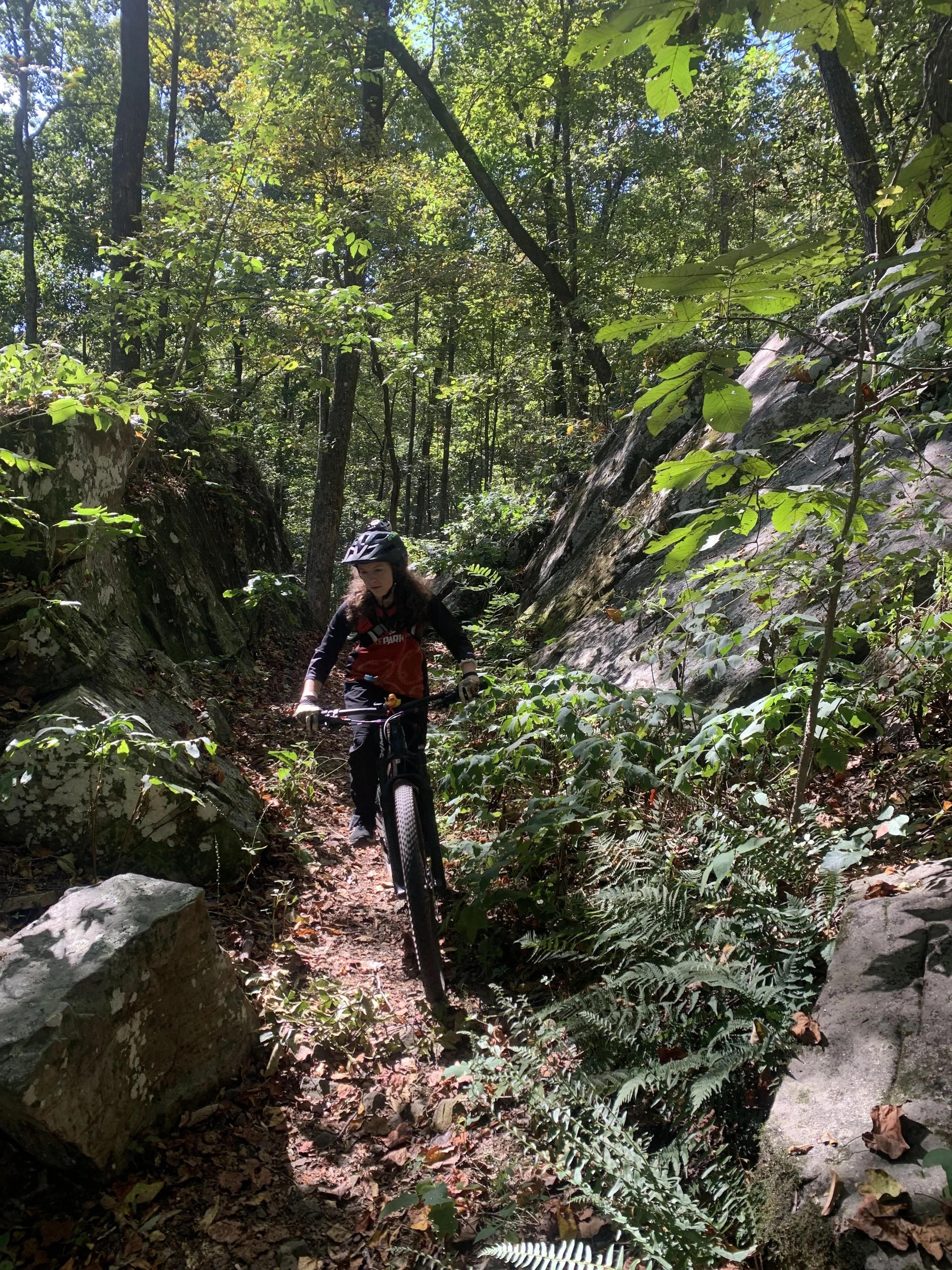
Monte Sano offers a network of trails to make just about everyone happy. You'll find a web of over 60 miles of trails crisscrossing more than 3,700 acres of public property on the mountain. Within Monte Sano State Park, smooth and relatively flat plateau trails await you, while the more adventurous can take the plunge off the plateau. There you'll find plenty of rocks to make you fully appreciate your suspension. Plus, there are short and medium length verticals that will either pump your legs, or numb your hands.
Monte Sano State Park contains the best variety of trails on the mountain. Families can ride down the gravel road, or even continue on the flat double track of the South Plateau Loop to the overlook at O'Shaughnessy Point. For those that want fun, flat and flowing single track, the Bucca Family Bike Trail is the route to take. It meanders along the plateau out to O'Shaughnessy Point and back. Out towards O'Shaughnessy Point, you can even stop and visit the old fire tower. If the trail gets to be too much, there are a few bailout points on the gravel road allowing a quick escape to the gravel road and the easier portion of the South Plateau Loop.
To get a taste of what you'll experience off the plateau, take a quick lap around the North Plateau Loop/Fire Tower Trail loop. In 1.2 miles, rocks, roots, and short climbs expose you to what lies below. So if you can handle this you're ready for the plunge. However, like the Bucca Family Bike Trail, if it gets to be too much, you can easily take a quick detour to campground road. If you're ready for more intermediate fun, try the fast descent down the Sinks Trail from the biker's parking lot to Tally-Ho Trail.
Once at the intersection of Tally-Ho and Mountain Mist, a world of options awaits you:
-Try some FLOW: directly in front of you after you end on Tally-Ho, you’ll find two bike-only directional downhill flow trails: Bluebell Holler and Full Monte! Be prepared for tabletops, drops, a massive step-up, and the amazing HAMR wall ride!
-Rocks all the way: Keep right on Mountain Mist and work your way down Sinks Trail to Keiths and Logan Trails to continue your exploration of slightly rockier terrain!
Now, if that doesn't satisfy your appetite, or you're just ready for more advanced and technical riding then read on. The southern half of the Mountain Mist Trail rolls along just under the cliff line of the plateau. Plenty of rock and technical features abound. Also try out the Goat Trail and Rocky Nightmare Trail, which include our best rock gardens, switchbacks, rock armoring, and wooden features. The Keith Trail and the Logan Point Trail together feature some of our better climbs and flowing technical aspects. Cold Springs, McKay Hollow, and Warpath Ridge, feature highly technical downhill sections, or ascents - depending on which way you go. Some parts are double black diamond and may involve hiking your bike.
Those who want epic rides won't be disappointed either. From the Land Trust Parking Lot and Trailhead on Bankhead Parkway, you’ll find many of the mountain’s most primitive and rocky terrain yet, as well as a few of the mountain’s most popular trails including Bankhead Trail, Oak Park Trail, Bluffline, High Trail, and more!
An exhaustive map of all of the trails on Monte Sano Mountain is available on TrailForks with distances and difficulty levels of the trails.


